
REAL PHOTOS. CLEAR CREDITS.
Photo credits.
The people and public collections behind the trail guide.
What the pictures show
Actual-location photographs are identified in their captions. Where a reusable park photo is unavailable, a visible “Regional photo · not this park” label identifies a Texas landscape used for context. These images do not show that park, its trails or current conditions.
Each photograph below links to its source and license. TXMUD’s resized, WebP-converted, cropped or color-treated versions retain the photograph’s stated license, including ShareAlike where applicable. Photo licenses apply to the photographs, not the entire website. Credits do not imply endorsement by photographers, operators or agencies.
Hidden Falls Adventure Park
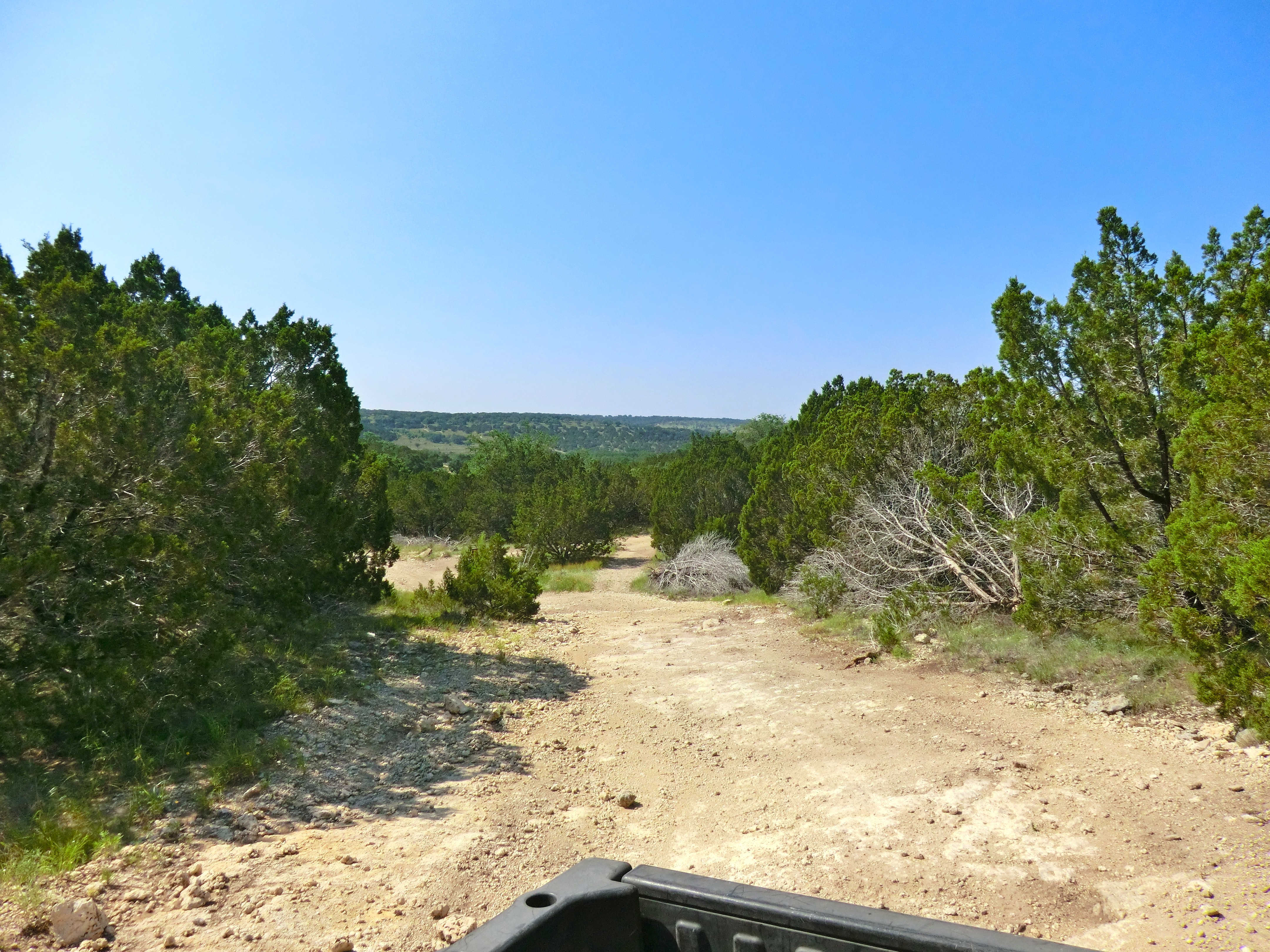
Historical photograph of a rocky route at Hidden Falls Adventure Park, Marble Falls.
robert thigpen / Flickr · CC BY-SA 2.0 . Resized / converted to WebP for display; display crops and color treatment. Adapted copies retain this license.
Used in: Hidden Falls Adventure Park. Rights checked 2026-10-24.
Barnwell mountain off park
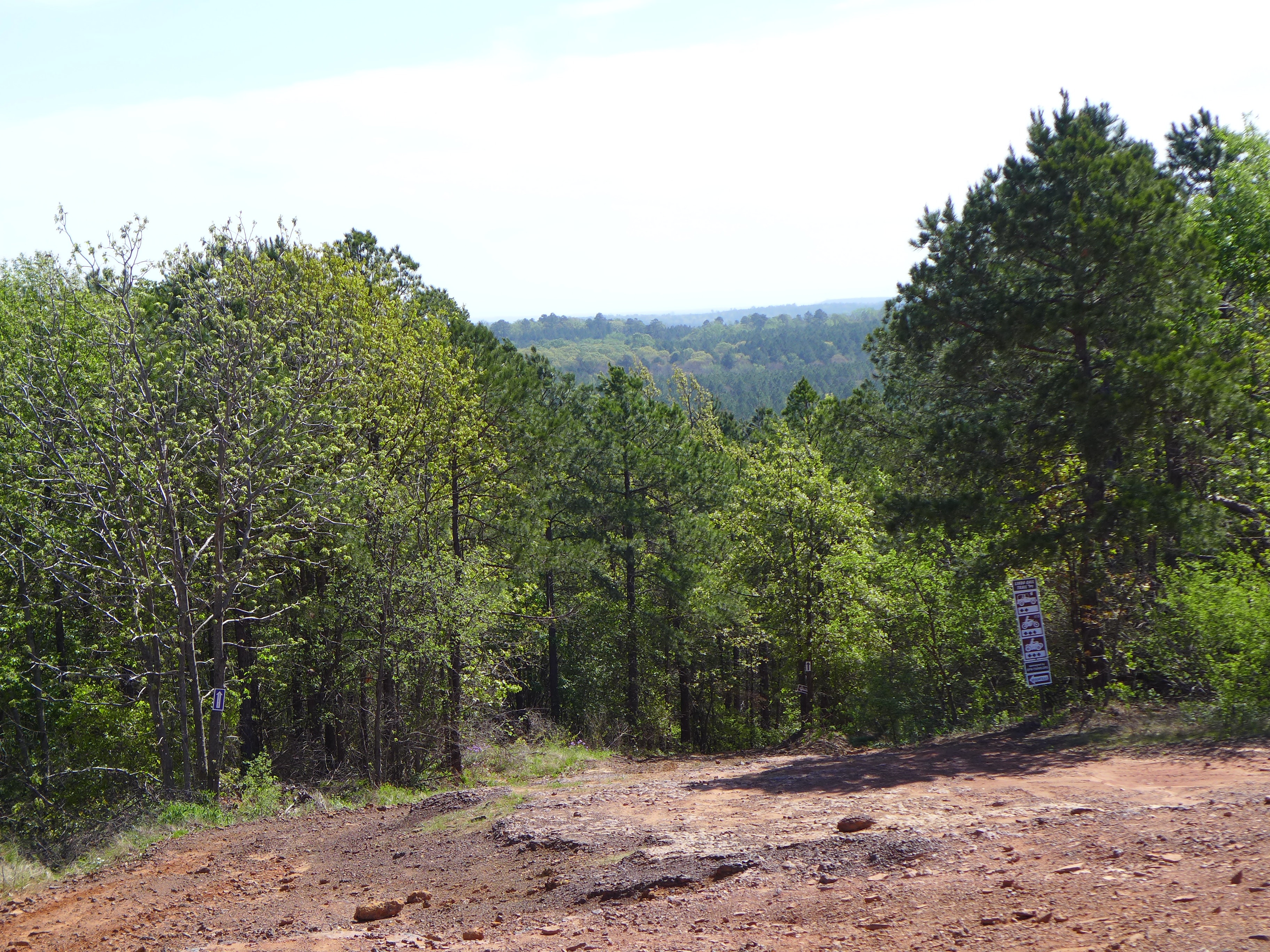
A wooded trail at Barnwell Mountain near Gilmer, photographed in 2013.
robert thigpen / Flickr · CC BY-SA 2.0 . Resized / converted to WebP for display; display crops and color treatment. Adapted copies retain this license.
Used in: Barnwell Mountain Recreation Area. Rights checked 2026-10-24.
river run atv park, Jacksonville, TX
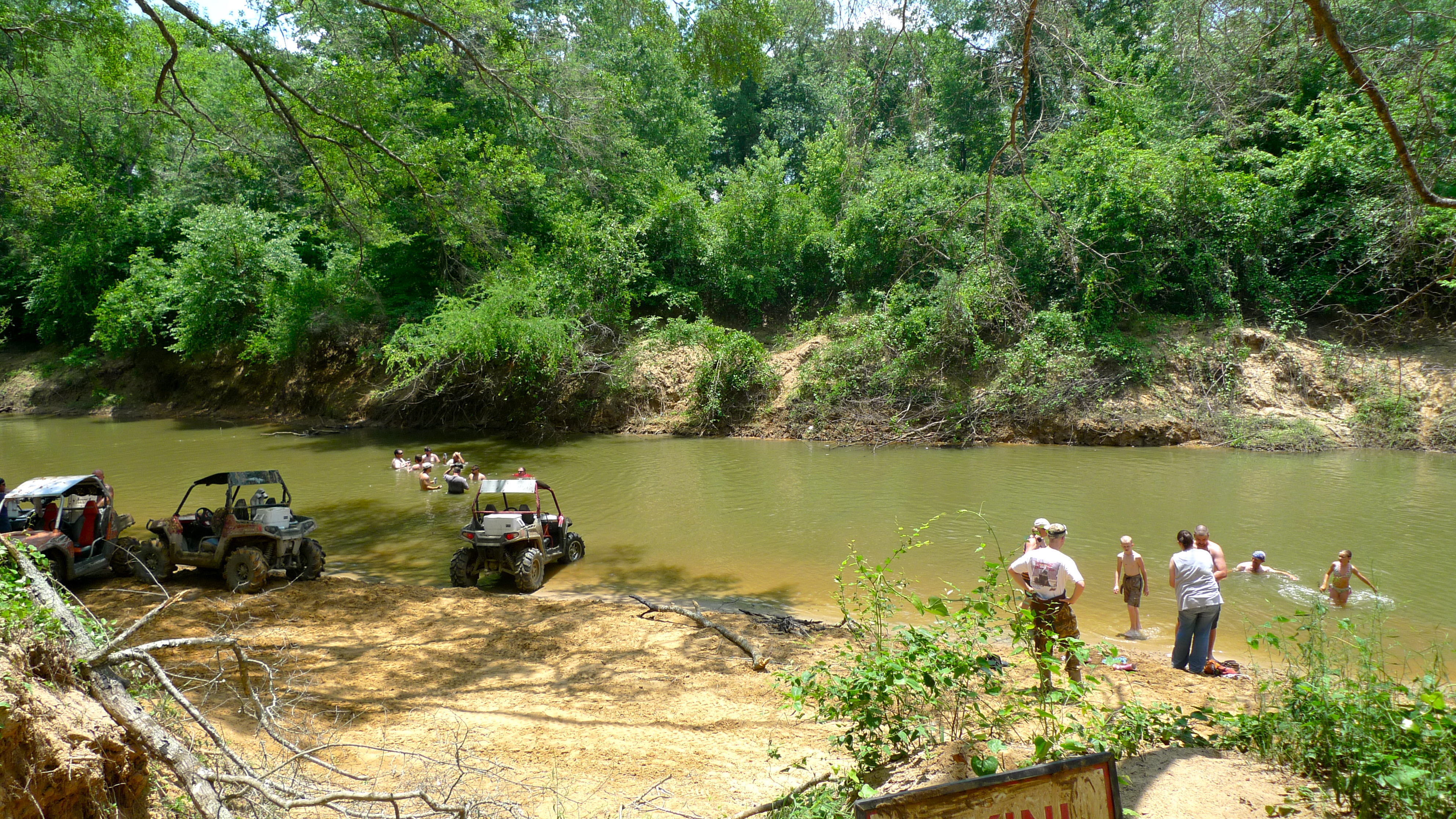
ATVs beside a creek at River Run ATV Park, photographed in 2010.
robert thigpen / Flickr · CC BY-SA 2.0 . Resized / converted to WebP for display; display crops and color treatment. Adapted copies retain this license.
Used in: River Run ATV Park. Rights checked 2026-10-24.
east texas hill
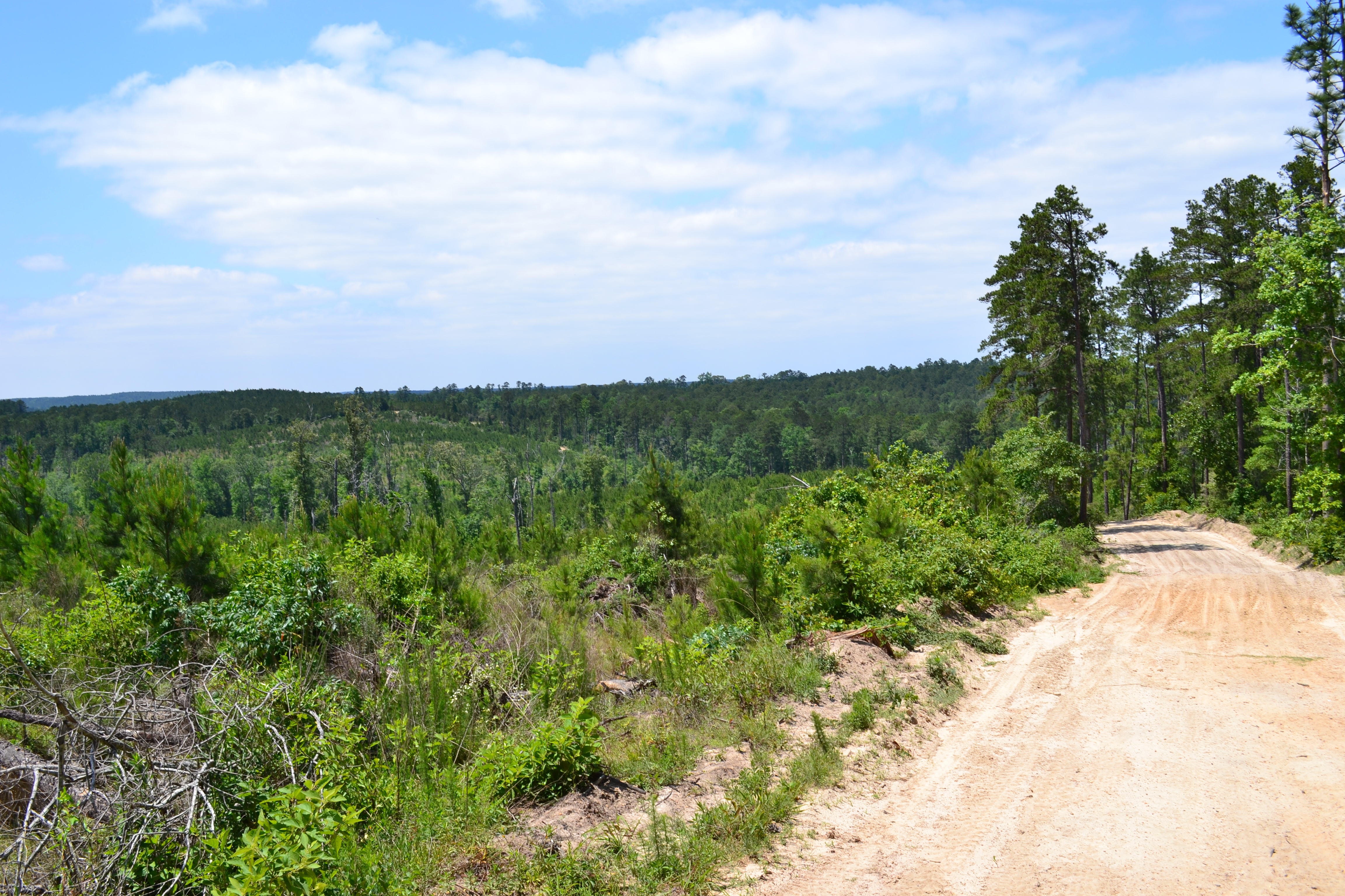
A sandy trail and pine-covered hills at Sabine ATV Park, photographed in 2011.
robert thigpen / Flickr · CC BY-SA 2.0 . Resized / converted to WebP for display; display crops and color treatment. Adapted copies retain this license.
Used in: Sabine ATV Park. Rights checked 2026-10-24.
Lake Texoma, Eisenhower State Park
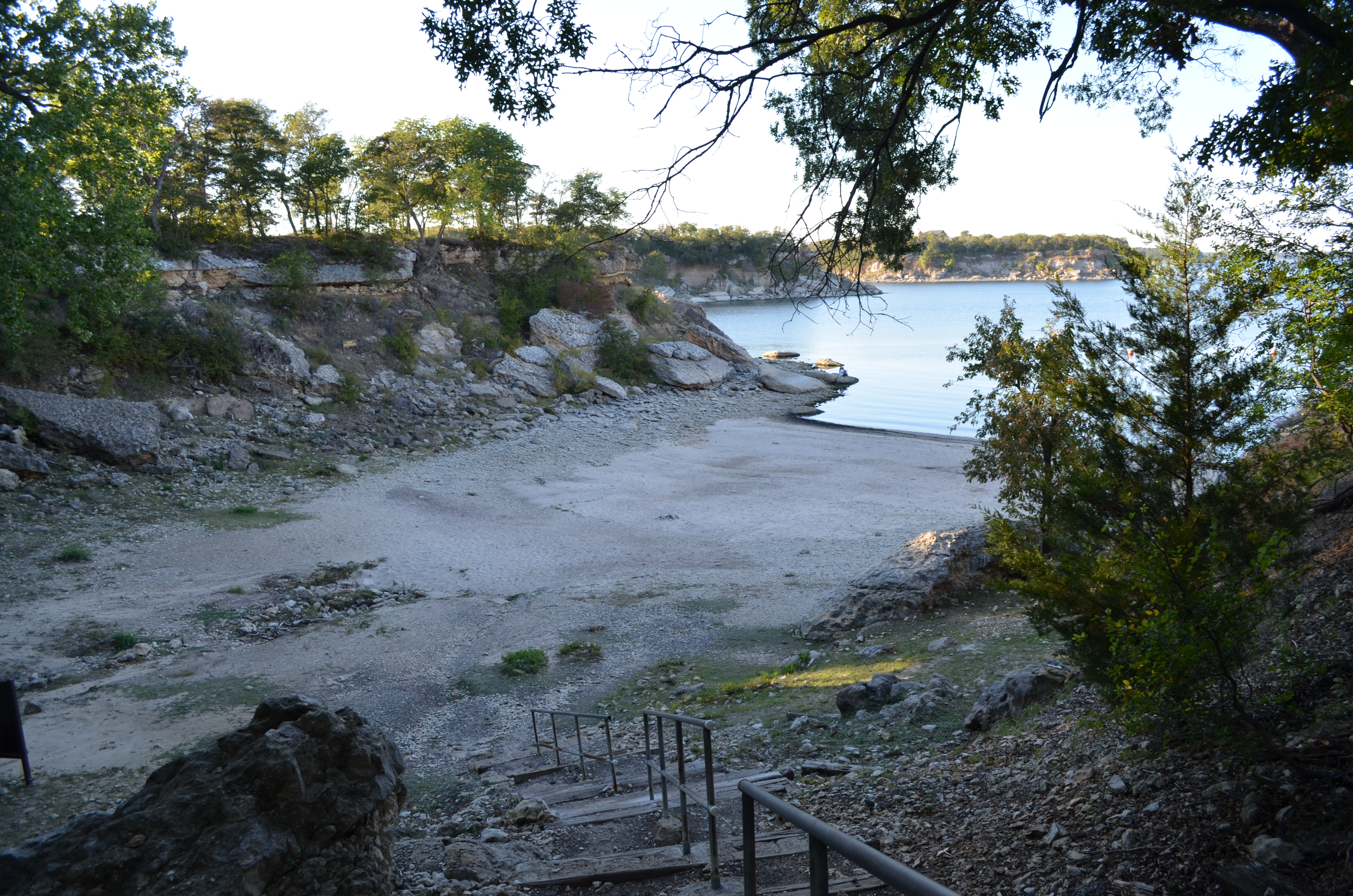
Lake Texoma seen from Eisenhower State Park in 2013. This shows the park setting, not the OHV trails.
GrapevineTxOnline.com · CC BY 2.0 . Resized / converted to WebP for display; display crops and color treatment. Adapted copies retain this license.
Used in: Eisenhower State Park — Ironweed OHV. Rights checked 2026-10-24.
Port Aransas South Jetty
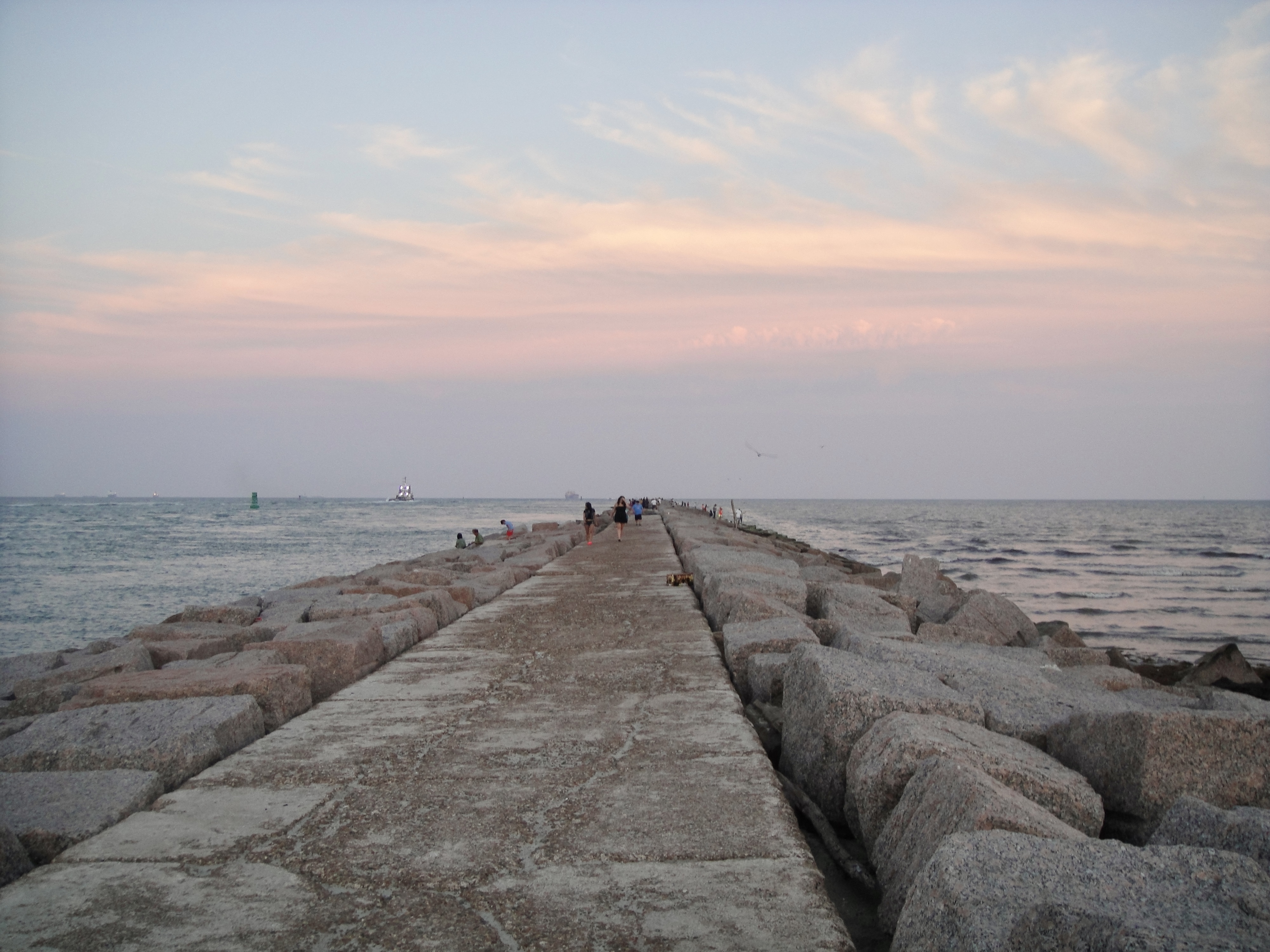
Port Aransas South Jetty in 2013. A coastal landmark, not a beach-driving route.
Spheroidite · CC BY-SA 4.0 . Resized / converted to WebP for display; display crops and color treatment. Adapted copies retain this license.
Used in: Port Aransas Beach. Rights checked 2026-10-24.
Texas hill country
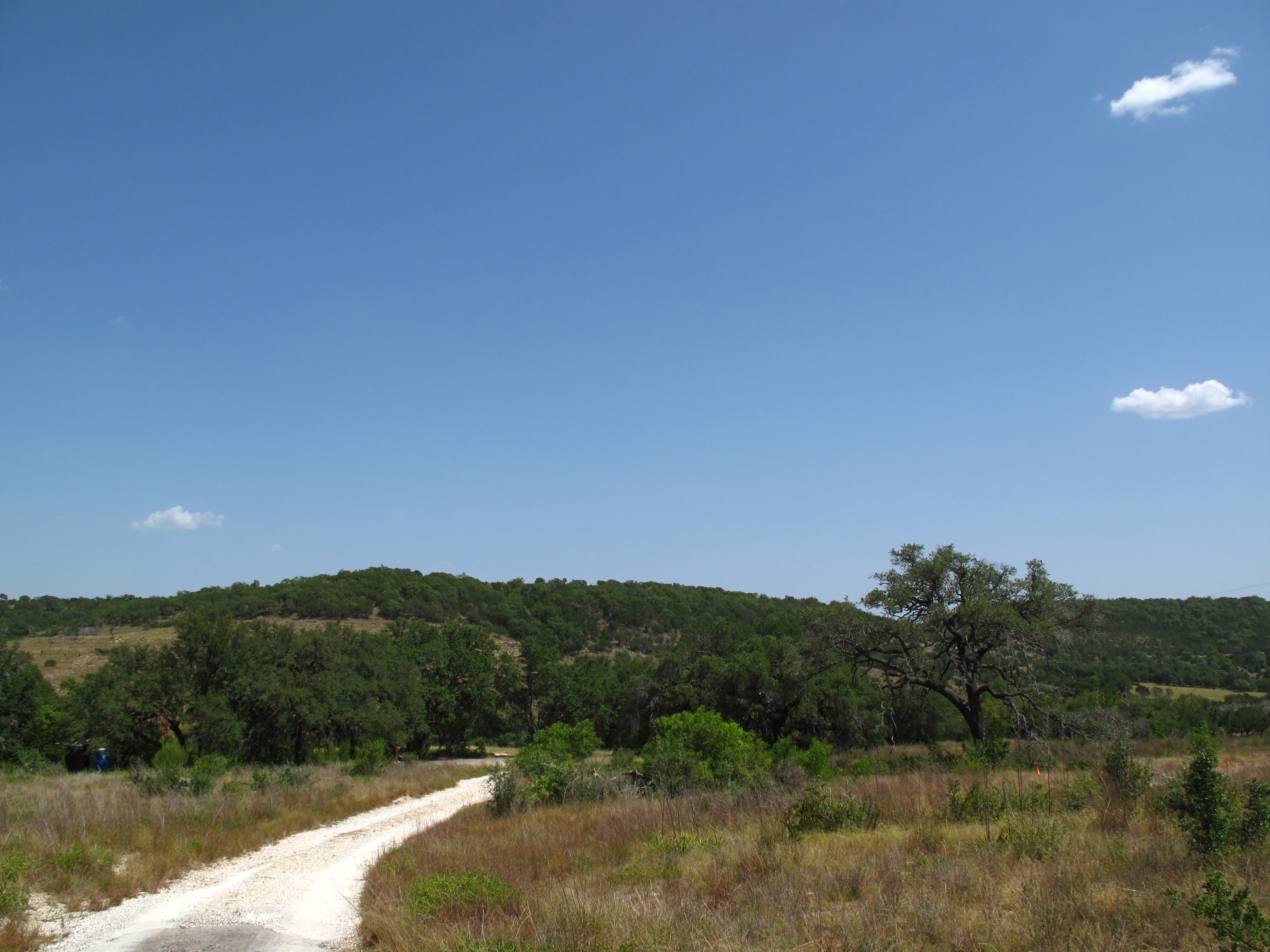
Texas Hill Country landscape, photographed in 2009. Regional context only; not photographed at this park.
Matthew Rutledge · CC BY 2.0 . Resized / converted to WebP for display; display crops and color treatment. Adapted copies retain this license.
Used in: Escondido Draw Recreation Area. Rights checked 2026-10-24.
Stratigraphy Palo Duro Canyon Texas 2024
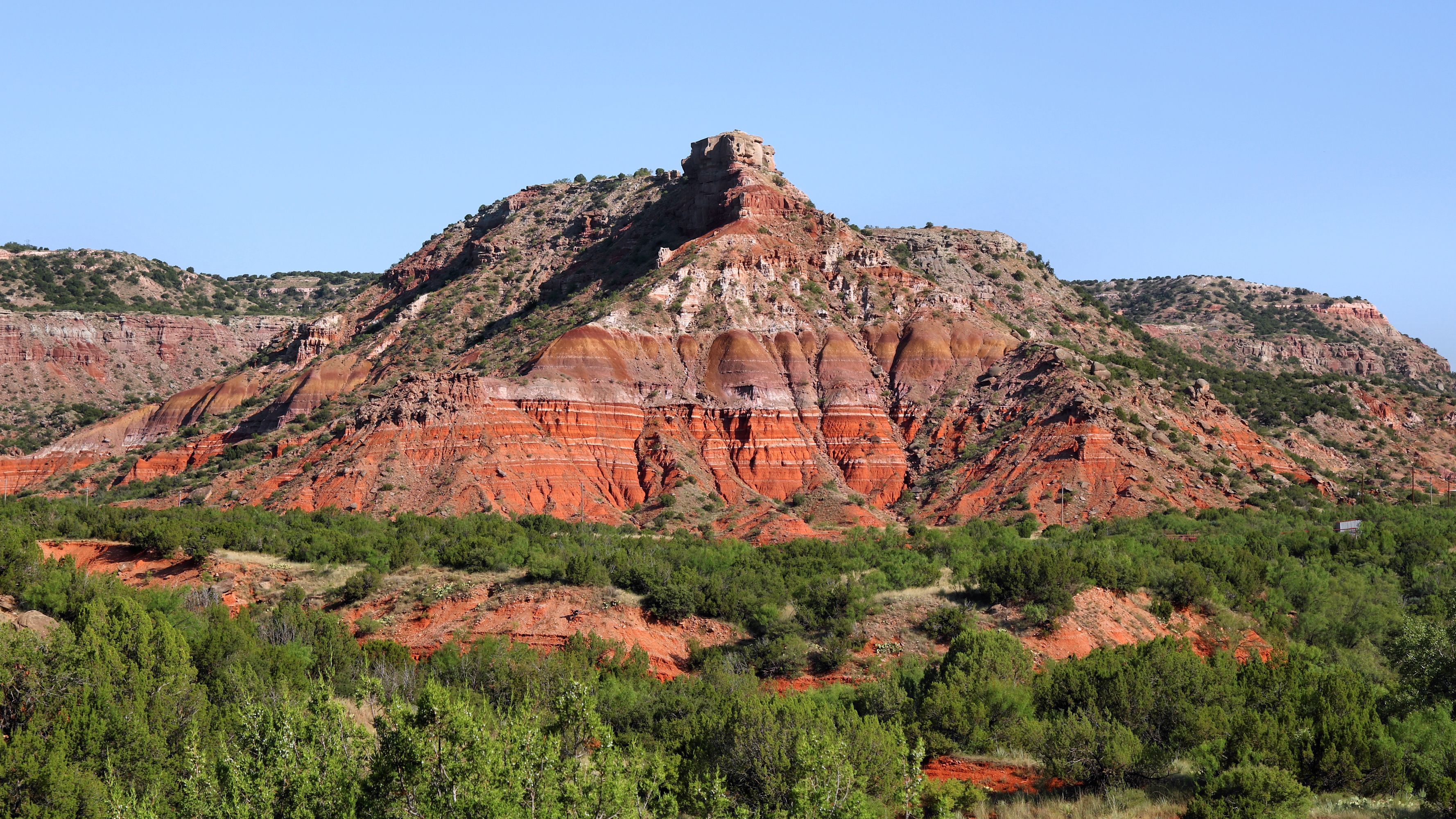
Palo Duro Canyon State Park, photographed in 2024. Panhandle regional context only; this is not MERUS Adventure Park.
Larry D. Moore · CC BY 4.0 . Resized / converted to WebP for display; display crops and color treatment. Adapted copies retain this license.
Used in: MERUS Adventure Park. Rights checked 2026-10-24.
Red River, Texas (2395829167)
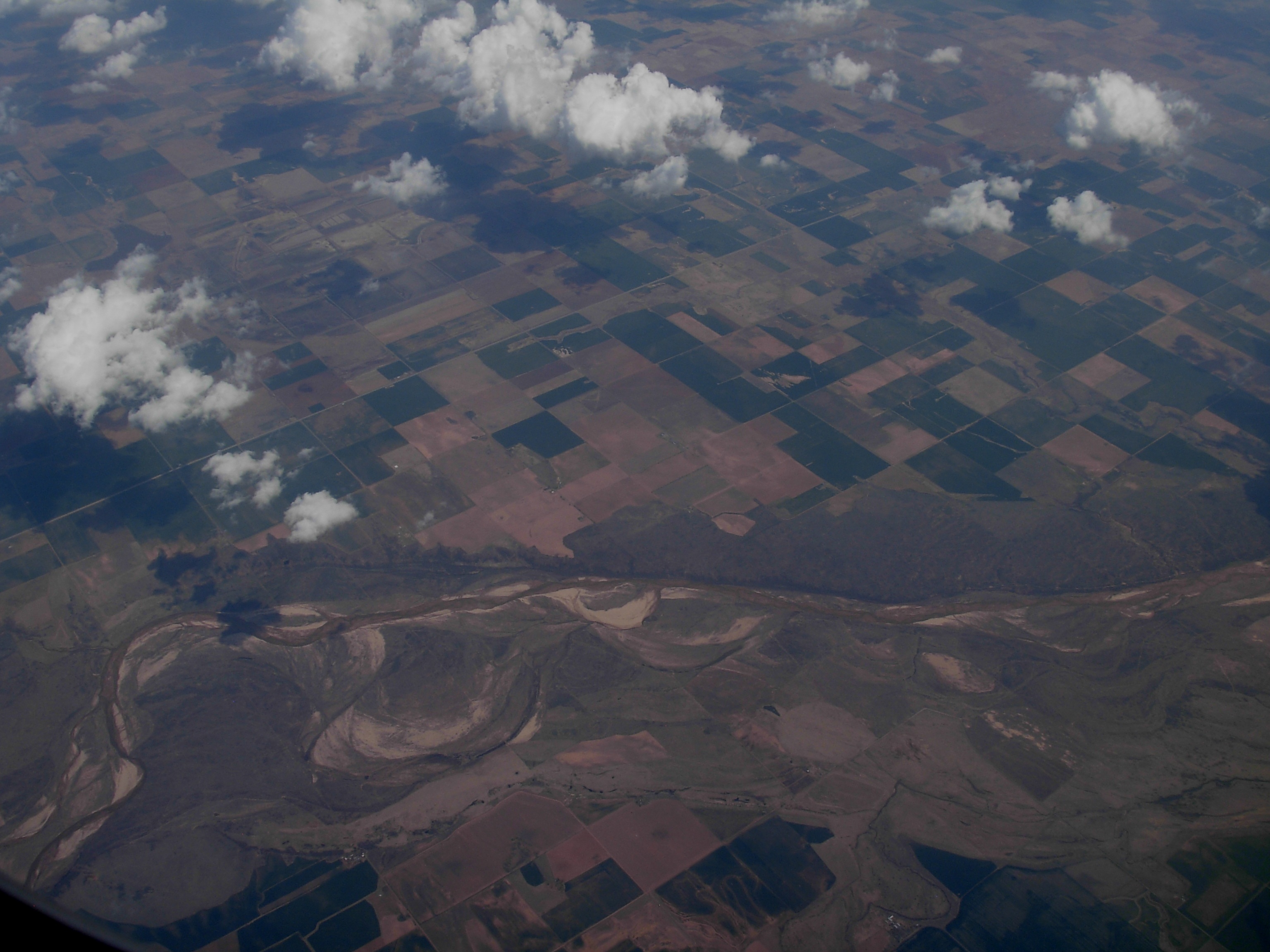
Aerial view of the Red River in Texas, photographed in 2008. Regional context only; not photographed at this park.
brewbooks from near Seattle, USA · CC BY-SA 2.0 . Resized / converted to WebP for display; display crops and color treatment. Adapted copies retain this license.
Used in: Northwest OHV Park; Red River Motorcycle Trails. Rights checked 2026-10-24.
Slope forest, Big Thicket NP, Big Sandy Creek, Polk Co. TX; 23 Mar 2020
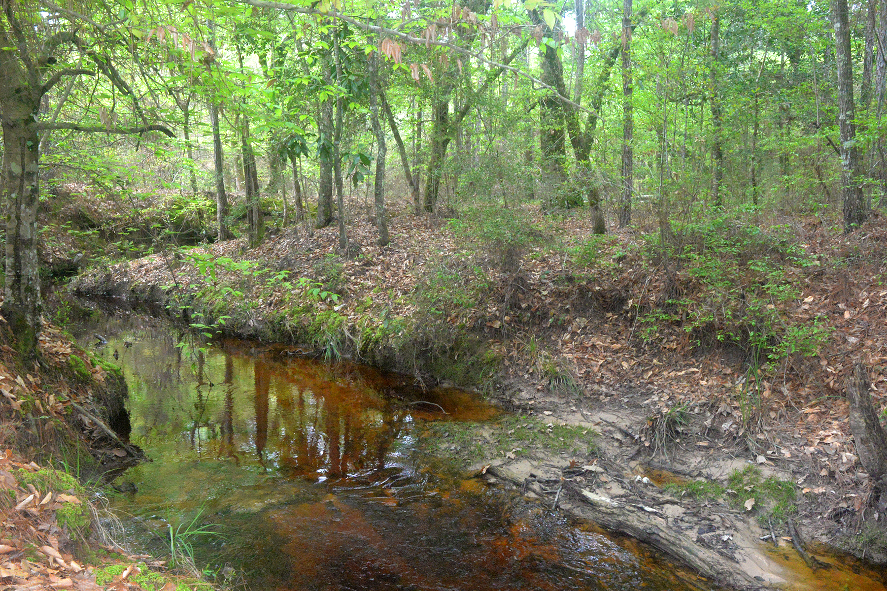
Big Sandy Creek woodland in Big Thicket National Preserve, photographed in 2020. East Texas regional context only; not photographed at this park.
William L. Farr · CC BY-SA 4.0 . Resized / converted to WebP for display; display crops and color treatment. Adapted copies retain this license.
Used in: Gator Run Offroad Park; Creekside Offroad Ranch. Rights checked 2026-10-24.
Davy Crockett National Forest Dogwood tree - 20230417-FS-MC-20231
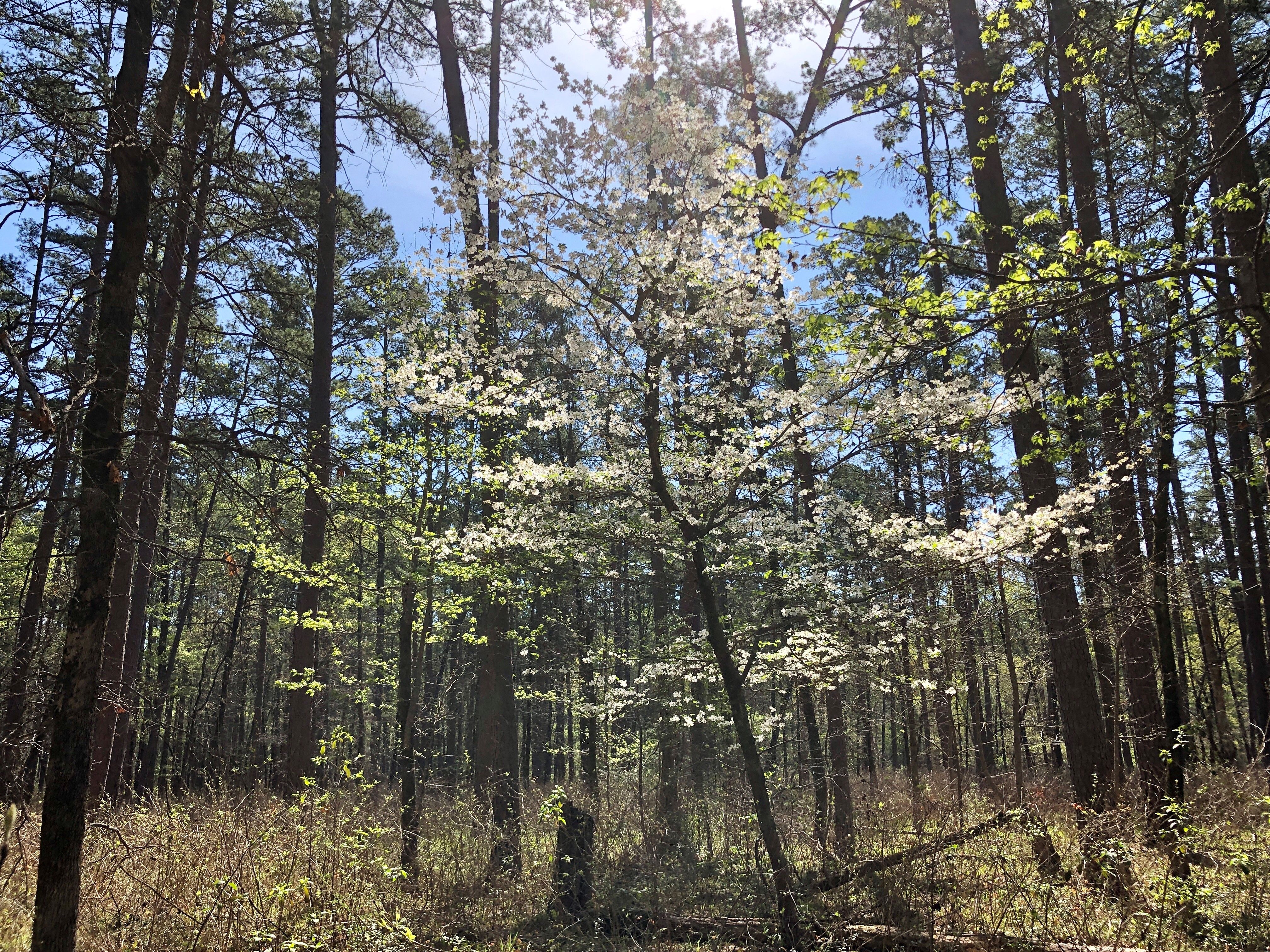
Dogwood among the pines in Davy Crockett National Forest, photographed in 2023. East Texas regional context only; not photographed at this park.
Forest Service Photography · Public domain . Resized / converted to WebP for display; display crops and color treatment. Adapted copies retain this license.
Used in: General Sam's Offroad Park; Xtreme Off Road Park & Beach. Rights checked 2026-10-24.
Dirt-bike riding on a multiple-use trail in Sam Houston National Forest.
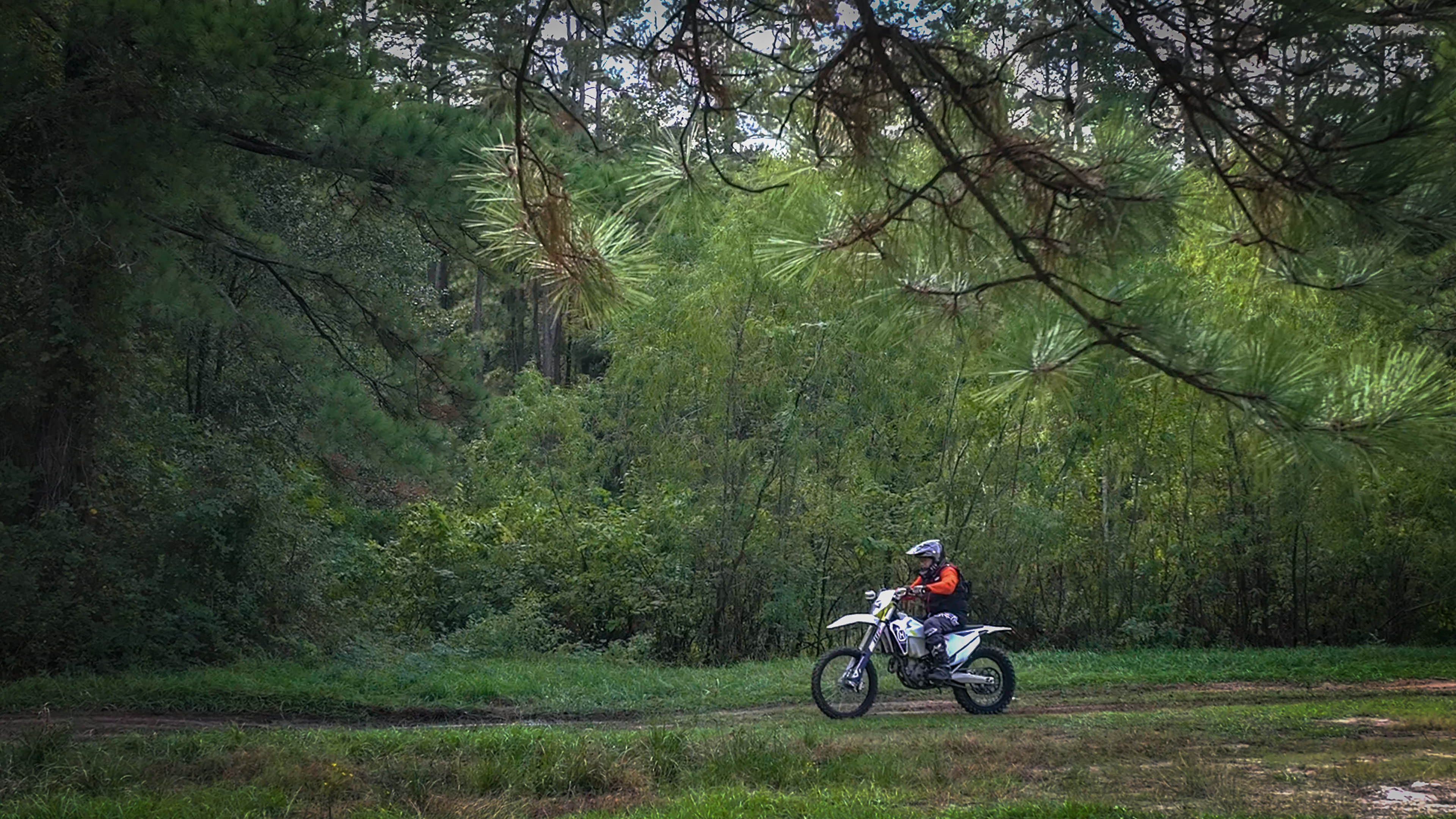
Dirt-bike riding on a multiple-use trail in Sam Houston National Forest.
USDA Forest Service / Preston Keres · Public domain . Resized / converted to WebP for display; display crops and color treatment. Adapted copies retain this license.
Used in: Sam Houston Multiple-Use Trails. Rights checked 2026-10-24.
Park Road 22 ends at the South Beach driving entrance, Padre Island National Seashore.
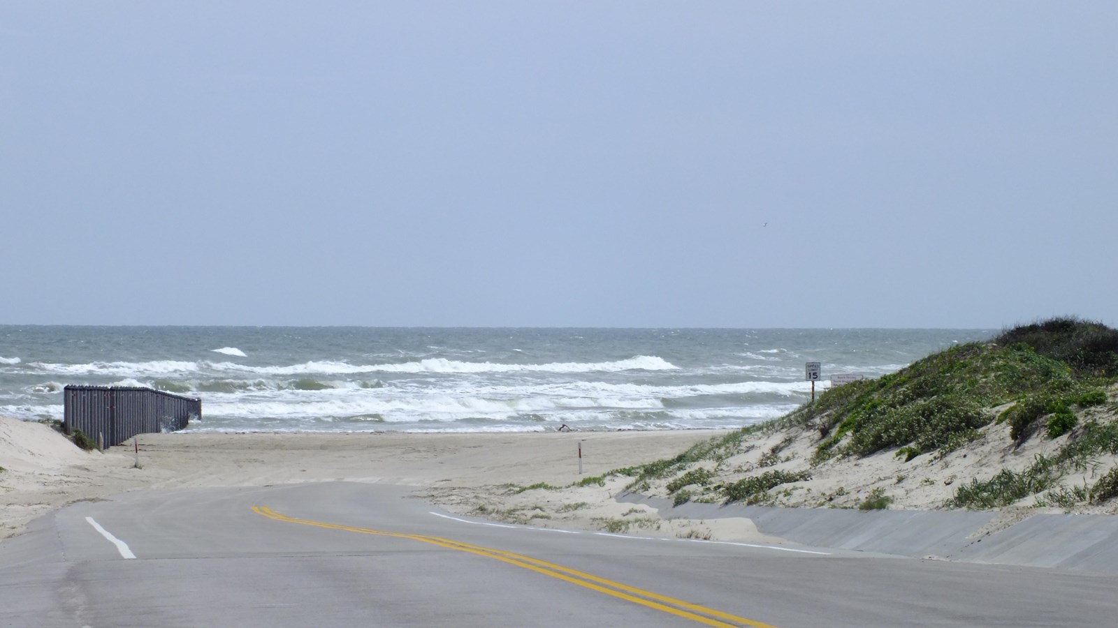
Park Road 22 ends at the South Beach driving entrance, Padre Island National Seashore.
National Park Service · Public domain . Resized / converted to WebP for display; display crops and color treatment. Adapted copies retain this license.
Used in: Padre Island National Seashore — South Beach. Rights checked 2026-10-24.
The rugged surface of Black Gap Road in Big Bend National Park, photographed in 2019.
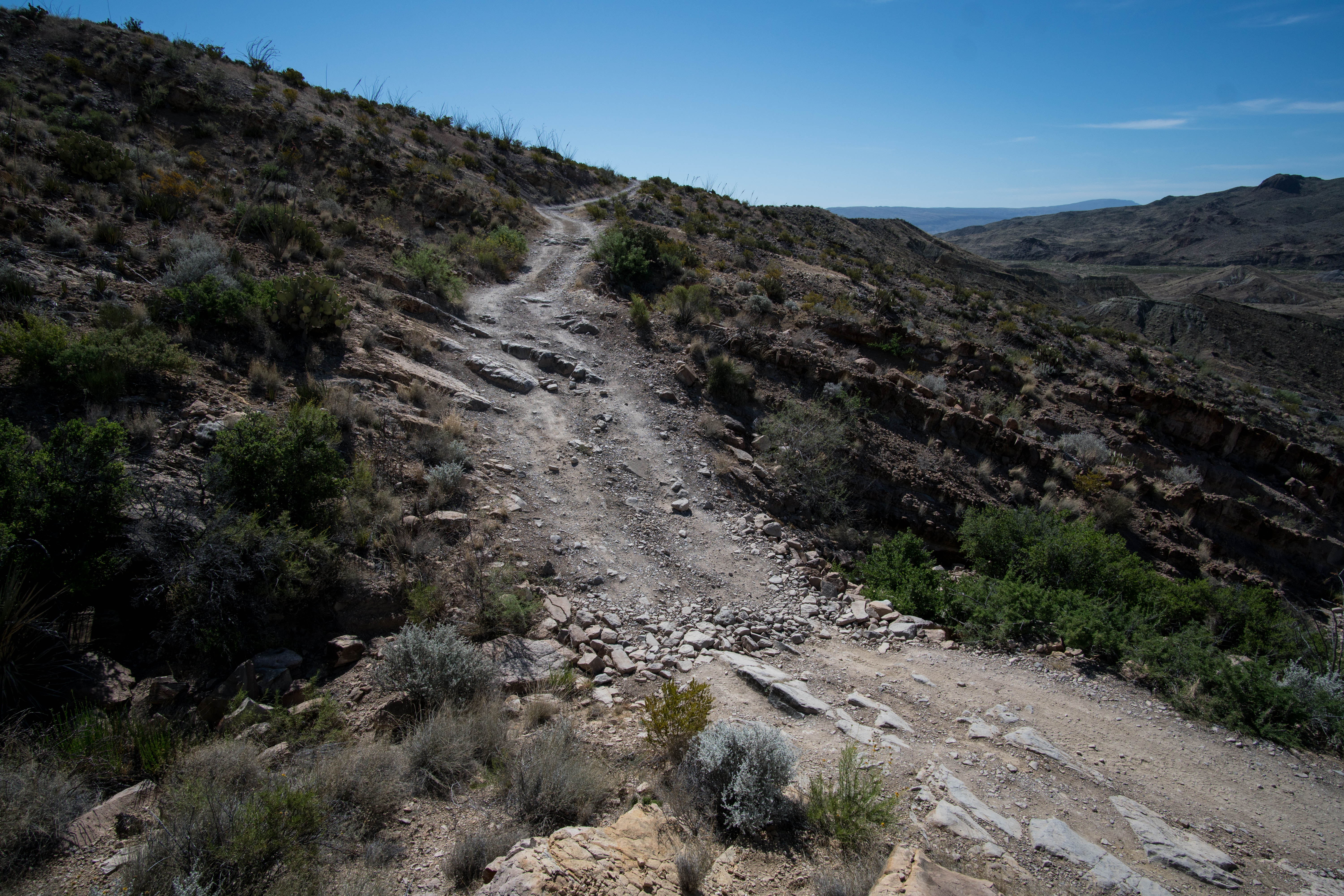
The rugged surface of Black Gap Road in Big Bend National Park, photographed in 2019.
National Park Service · Public domain . Resized / converted to WebP for display; display crops and color treatment. Adapted copies retain this license.
Used in: Big Bend National Park — Primitive Roads. Rights checked 2026-10-24.
A red-dirt route at Rosita Flats, Lake Meredith National Recreation Area.
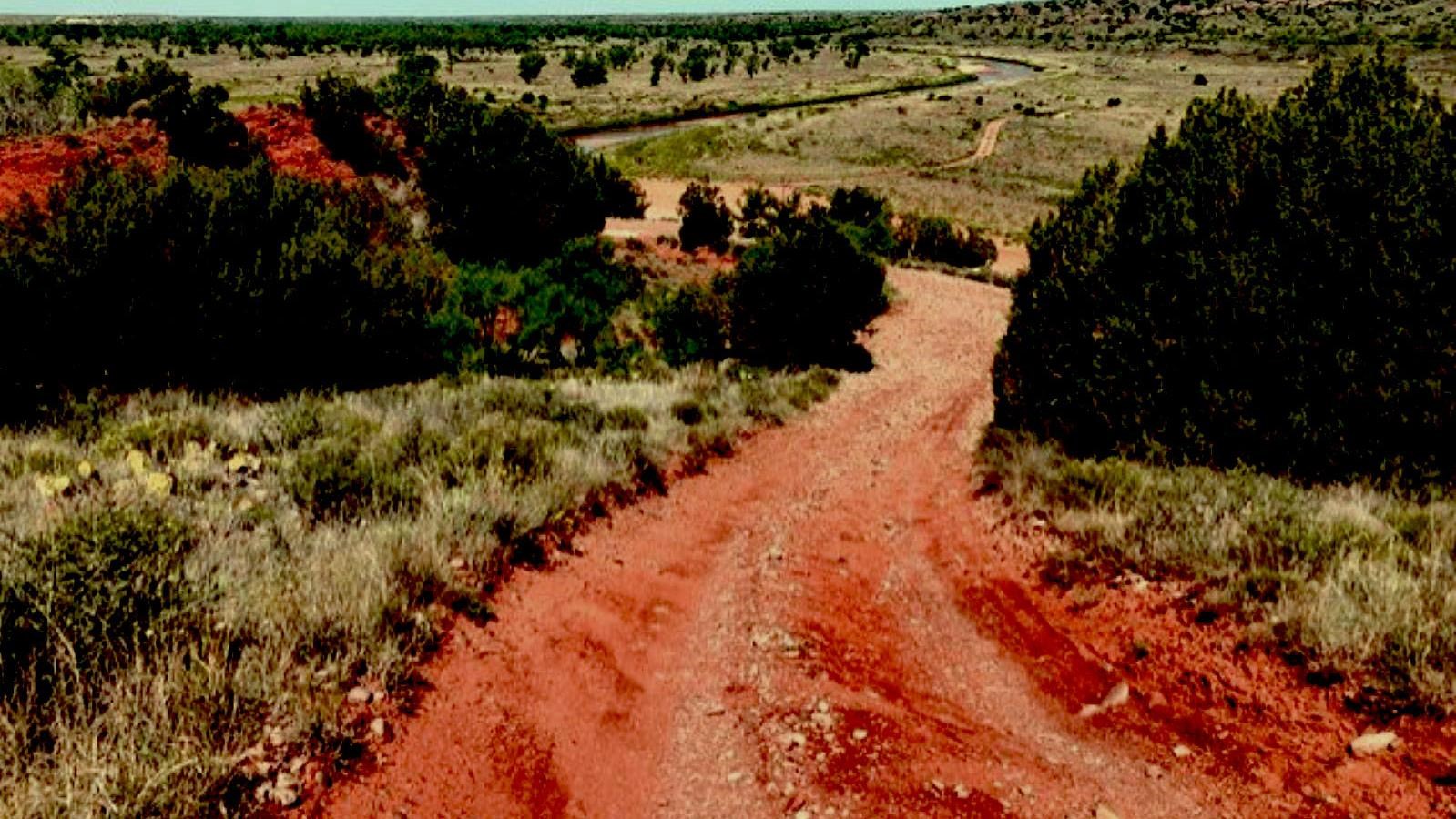
A red-dirt route at Rosita Flats, Lake Meredith National Recreation Area.
NPS Photo · Public domain . Resized / converted to WebP for display; display crops and color treatment. Adapted copies retain this license.
Used in: Canadian River — Rosita Flats. Rights checked 2026-10-24.
Sandy off-roading routes at Rosita Flats, Lake Meredith National Recreation Area.
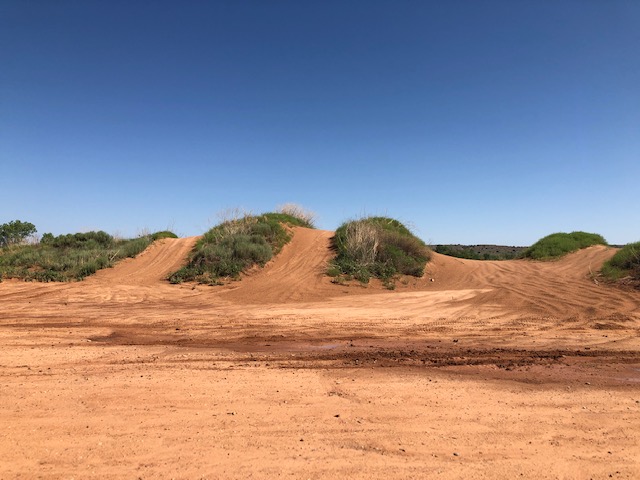
Sandy off-roading routes at Rosita Flats, Lake Meredith National Recreation Area.
NPS Photo · Public domain . Resized / converted to WebP for display; display crops and color treatment. Adapted copies retain this license.
Used in: Canadian River — Rosita Flats. Rights checked 2026-10-24.
TXMUD artwork & archive
The orange TXMUD identity and recovered archive artwork come from the site owner’s original website backup. The new masthead is an AI-assisted illustration commissioned for TXMUD and labeled as a tribute to the original artwork; it is not a photograph of a listed park.
Event-card artwork for campouts, driving courses, gear gatherings, muddy ATV and side-by-side rides, and trail running was created with AI assistance for TXMUD. These themed illustrations do not depict a specific venue, actual event, route or current conditions. Historical venue photographs retain their individual source and license captions.
Map geometry: U.S. Census / us-atlas. Map source and license. Rider-uploaded photos remain separate from these editorial images; see rider privacy and sharing.